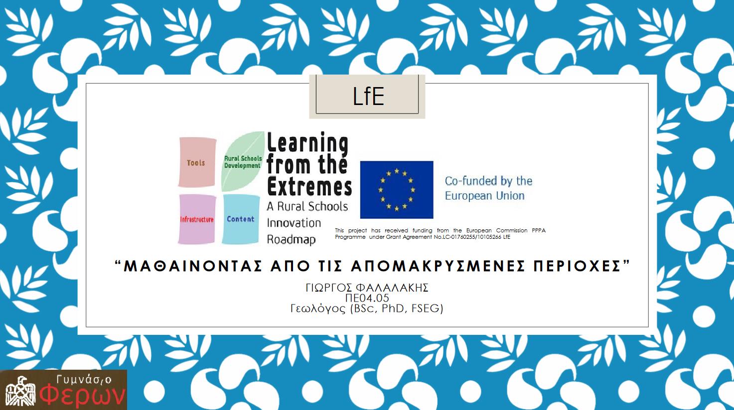
Learning from the Extremes 2022-2024
The RURAL project, funded by Lfe, aimed to improve student’s digital skills. Using the Geographic Information Systems (GIS) and geospatial data handling, the project introduces the students to the digital map creation. Also it gives them the chance to collect and import their own data to the thematic maps. The open source software QGIS is used in this project. The final product is in a form of a web based map that is easily accessible by everyone.
Two different maps are prepared, the first one concerning the churches’ map of the Feres Municipality Unit (photographic and various information) and the second one an environmental map around Feres city (soil’s pH, temperature and moisture).
The first map project is scheduled to be completed at the end of the school year 2022-2023 (https://gym-feron.evr.sch.gr/) and the second one on the first semester of the school year 2023-2024.
ΠΑΡΟΥΣΙΑΣΗ ΤΟΥ ΠΡΟΓΡΑΜΜΑΤΟΣ
Το Πρόγραμμα παρουσιάστηκε από τον κύριο Φαλαλάκη Γεώργιο, υπεύθυνο επικοινωνίας του Προγράμματος (Contact Person) στη Συνάντηση Γονέων και Κηδεμόνων που πραγματοποιήθηκε στο Σχολείο μας στις 10 Οκτωβρίου 2023.
ΜΕΤΑΒΑΣΗ ΣΤΟΝ ΨΗΦΙΑΚΟ ΧΑΡΤΗ


